We run both, and choose on the asset's diameter, condition and flow,
not on what's in the van.
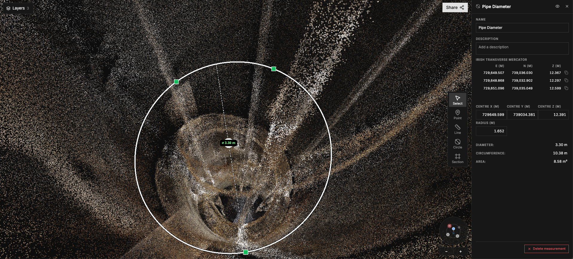
Three views of the same asset, from one survey. Delivered in Halo, and exportable to the tools you already use.
The drone or crawler goes in. Your team stays at the surface.
Reliable data from degraded, obstructed and hard-to-reach lengths.
Measure deformation, voids and collapses to prioritise repairs.
The first survey sets a precise baseline for every one after it.
Change between visits is read from data, not inferred from notes.
Review the asset again later without returning to site.
Live sewers, culverts, storm tanks and shafts, for utilities and asset owners on both sides of the Irish Sea.
No. The drone or crawler goes in; the team stays at the surface.
Where silt, debris, standing flow or a collapse would stop a crawler, a drone flies past it. Crawlers suit smaller pipes and routine runs.
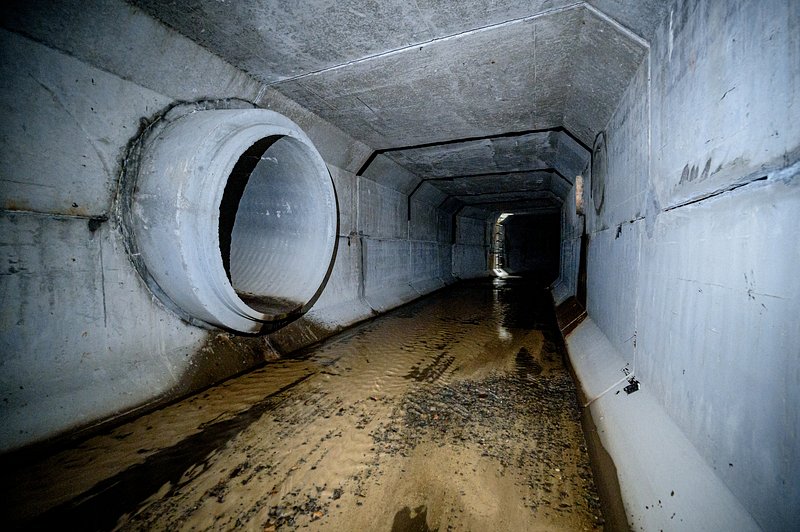
Survey video, location-tagged photography and a LiDAR model of the asset, delivered in Halo and exportable to your own tools.
Diameter, length and access constraints are enough for us to tell you what we can capture.
“[Approved quote from Iain – fewer road closures]”

Tell us the diameter, length and access, and
we'll tell you what we can capture.